


Book number: 73033
Prourrat Frères, Éditeurs, Paris, 1833
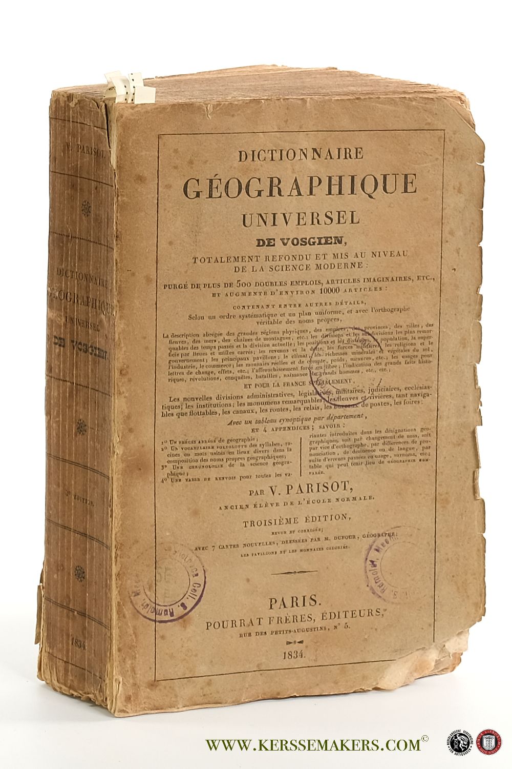
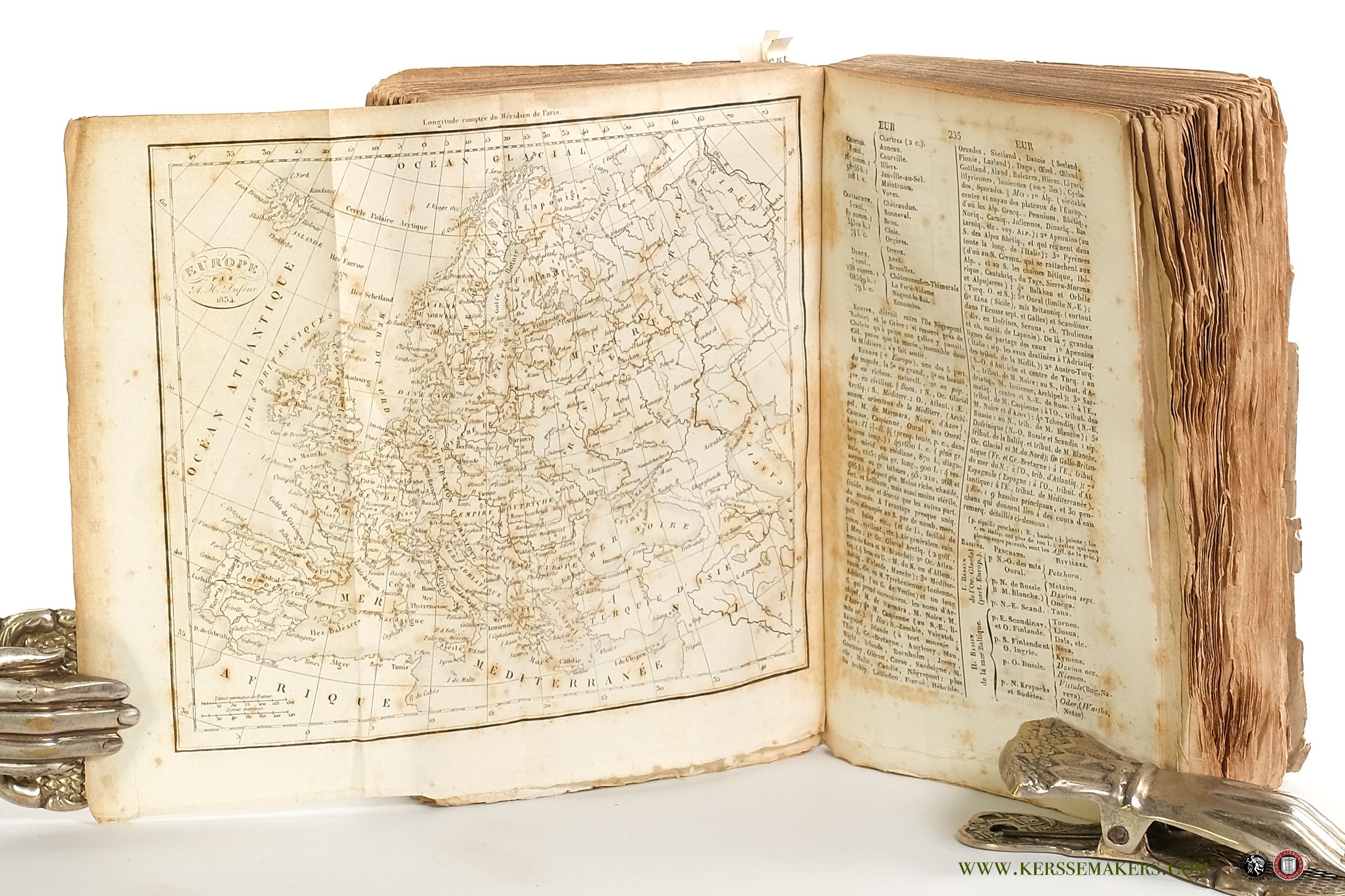
Large 8vo (22x14 cm). Original printed wrappers (stamsps; soiled and a bit dam.). Uncut (unopened). (iv),viii,748 pp. (brown spots throughout, first and last quires, and p. 490-570 with serious brown spots; stamp on halftitle). The Appendices: 'Précis de Géographie', 'Vocabulaire polyglotte', 'Chronologie géographique', 'Synonymie géographique', 'Foires de France', and 'Tableau général des Monnaies'. With 1 large folding plate and 7 folding maps engraved by A. H. Dufour: 1) "Royaume de France 1834", surrounded by handcoloured flags (30x24 cm); 2) "Afrique 1834", 3) "Amérique mérid. 1834", 4) "Amérique sept. 1834", 5) "Asie 1834"; 6) "Europe 1834"; 7) "Mappe-Monde par A. H. Dufour 1834" depicting the Eastern and Western hemisphere, 20 x 36 cm. The folding plate 17,5x58! cm "Tableau général des monnaies", partly coloured by hand with yellow tint for the gold coins.


