
Book number: 73002
Chez les Libraires Associés, Paris, 1770
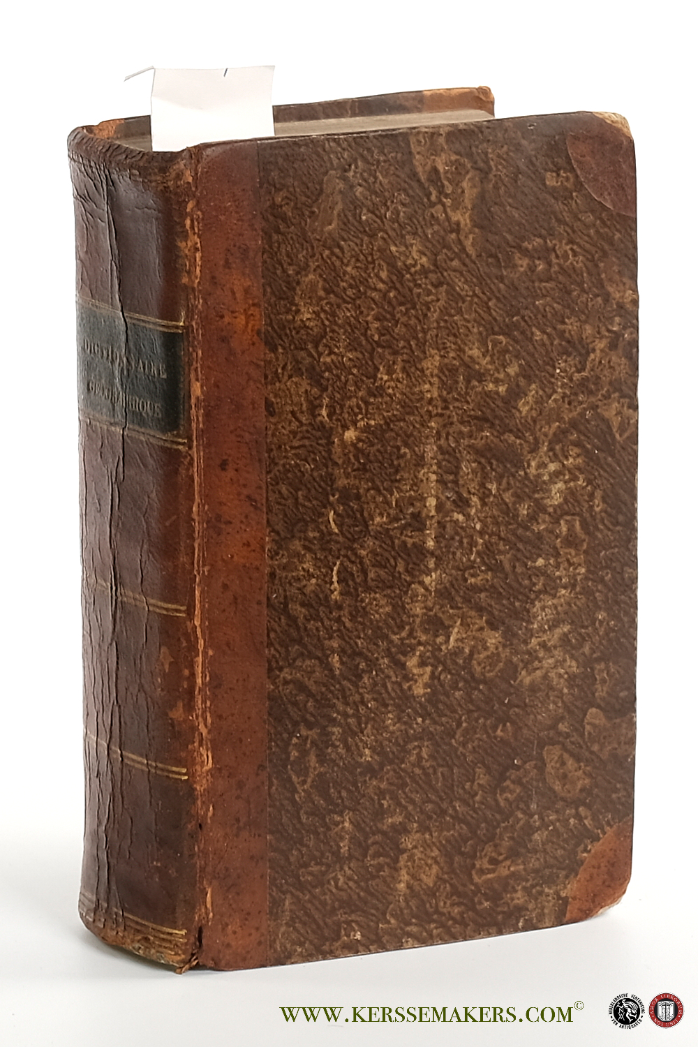
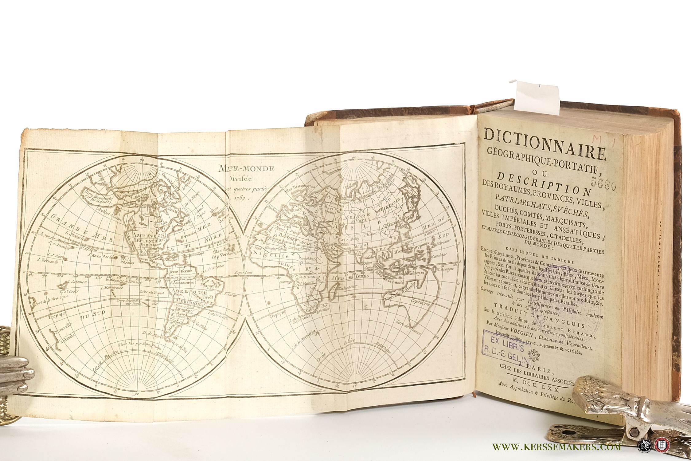
Small 8vo (18x12 cm). Contemporary half leather with cornerpieces; spine with gilt lines and title-label (few sl. rubbings; foot spine dam.; spine slightly wrinkled; corners bumped). xii,(iv); 816 pp. P. 784-816 tables of places and Latin names. Printed in 2 columns. With 2 maps: 1) engraved folding map of Europe "l'Europe divisée en ses grands Etats 1769" and 2) engraved folding world map, depicting the Eastern and Western hemispheres, 15x29 cm., entitled "Mappe-Monde divisée en ses quatre parties 1769", anonymous, but in the Amsterdam edition of 1770 signed by A. V. Krevelt. - Stamps on titles; several leaves cut short of which p. 547-48 and 643-44 with loss of some text;small hole in leaf 643-44 with loss of some characters; last leaves corners waterstained; a few small inkspots.


